- Contact the Town
- Find Emergency Information
- Learn About Major Projects
- Learn About Waste and Recycling
- Provide Input
- Read Official Documents
- Learn about Your Council
- Read our Sustainability Commitments
- Check Recreation Calendar
- Go Climbing
- Go Swimming
- Go Ice Skating
- Go to the Farmer's Market
- Register for Programs
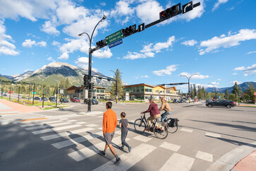
Transportation
We are keeping Canmore moving through key projects that enhance our road and pathway network.
Plans
We are planning for Canmore's future through strategic plans that guide our work in the community.

Parks and Playgrounds
We are creating inviting places to play by improving our parks and playgrounds.

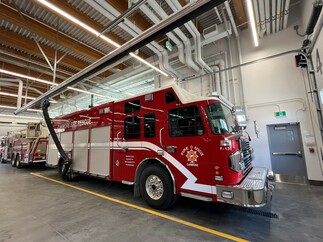
Facilities and Other Buildings
We build state of the art facilities to meet the needs of the community.
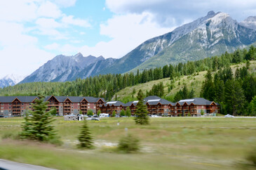
Housing Action
We are taking action on the housing crisis by investing in non-market housing and increasing the availability of homes for residents.
Our Big Stories
We are making Canmore a better place to call home with key projects that enhance quality of life.

Flood Mitigation
We are reducing flood risk to our community with projects designed to reduce the likelihood and impact of potential flood events.

Bow Valley Community Fireguard
We are constructing a fireguard to protect our community and support the ecological integrity of the environment.

Wastewater Treatment Odour Mitigation
We are taking action to reduce odors from the waste water treatment plant so everyone can breathe easy.